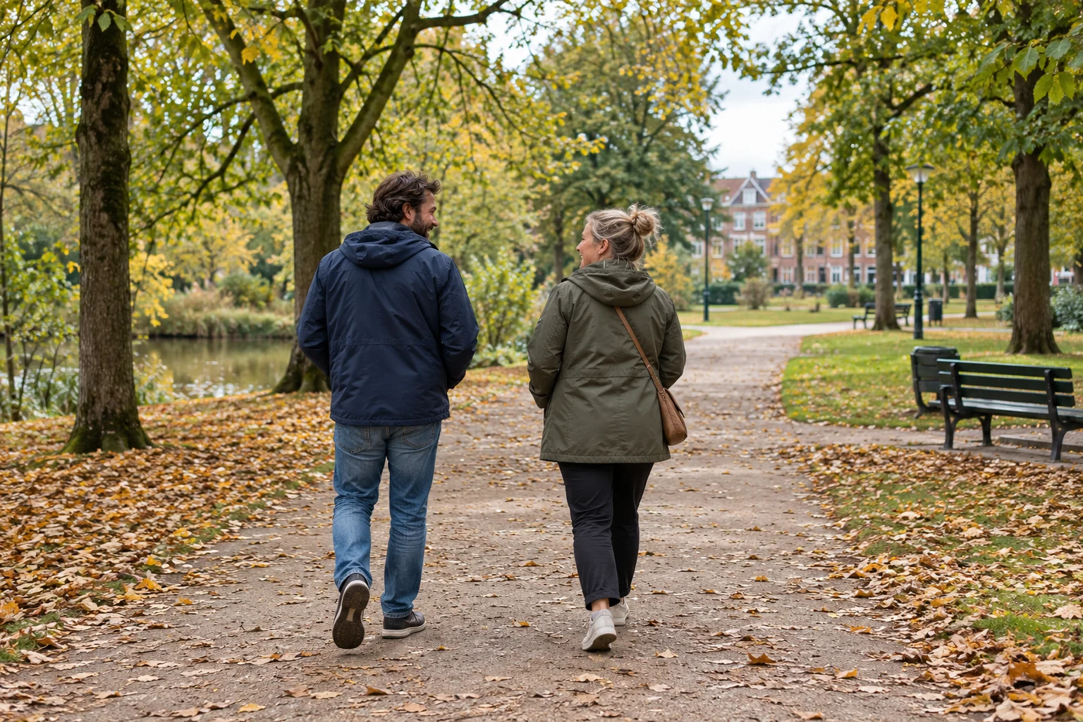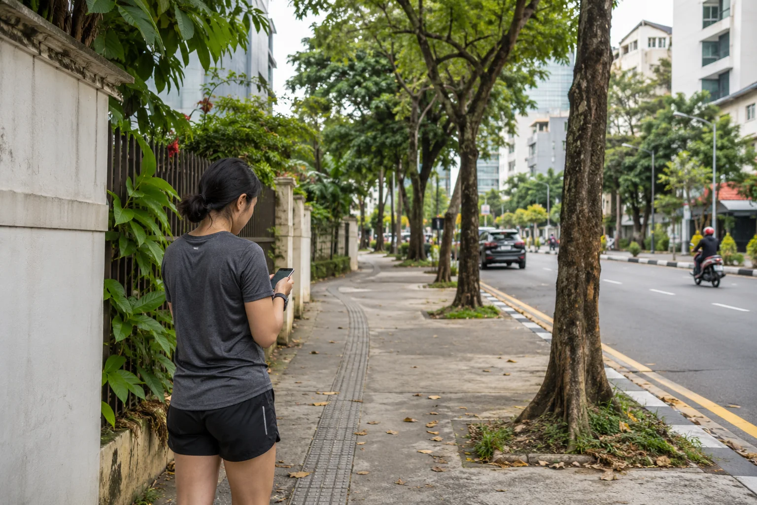

You can plan a 5 km running route by joining familiar, accessible paths into a loop, or by choosing an out-and-back route of roughly 2.5 km each way. Include the distance from your starting point to the main path, check crossings and opening times, then save the route before you head out.
A useful route fits the time you have and is easy to change. Five kilometres is a planning example here; you can use the same approach for a shorter or longer outing.
Start with somewhere familiar
Choose a clear starting point: a park entrance, a public square or a nearby street junction. Decide where you want to finish, too. A loop that ends where you began is convenient when you are heading back to work or home.
Think about the route at the time you will actually use it. A park that feels straightforward on a weekend morning may have closed gates by the time you finish work. In autumn and winter, a familiar, lit pavement may suit your evening better than an unlit path.
If you intend to share the recorded activity, consider where the visible route will begin. Our guide to hiding the start and end of a ride explains why those endpoints can reveal more than you expect.
Choose a simple route shape
Out and back: follow one route for about 2.5 km, then return along the same path. Choose a recognisable turning point you can reach without an awkward crossing. The return journey is easy to understand because you have already seen it.
One loop: connect a few familiar paths into a circuit of about 5 km. Check the joins carefully: two lines that appear close together on a map may sit on opposite sides of a fence, railway or river.
A shorter loop, repeated: useful when you want the option to finish early. For example, a 500 m approach, two laps of a 2 km loop and a 500 m return add up to 5 km. Those are illustrative distances; measure your own route, including the approach.
The best shape is the one you can follow comfortably. You do not need to add a busy junction just to make the map display exactly 5.00 km.
Check the paths before saving
Zoom in on each connection and consider:
- Pavements and crossings: can you stay on a suitable path, and where will you cross roads?
- Surface: does the route include steps, cobbles, mud or gravel that you would rather avoid?
- Access: are there park opening hours, gates or local restrictions?
- A shorter way home: where could you turn back or leave the loop if your plans change?
A line on a map is not proof that a path is open or appropriate. Check local signs and access information. For England and Wales, Ordnance Survey's guide to public rights of way explains how mapped routes and local authority information relate. Access rules elsewhere in Europe differ; use the guidance for the place where you are running.
Create the route in Nourri Active
Once you have an outline in mind:
- Open Active, then Maps and Create route.
- Add points along your intended route. Check that the line follows the paths you mean to use, rather than cutting across a block or open space.
- Review the distance and adjust the route if needed. Give it a name you will recognise, such as “Park loop from the square”, then save it.
- Select your saved route for the activity and check it on the pre-start map.
- Check the activity type and GPS status, then tap Start when you are ready to record.
Saving a route and recording an activity are separate steps. The saved line is your plan; recording captures the outing you actually make.
Use the map as a reference alongside what you can see around you. Nourri's route line is not turn-by-turn navigation.
Let the first outing improve the plan
Your first run may reveal a crossing you would rather skip, a better park entrance or a stretch you want to repeat. Adjust the saved route for next time.
The recorded distance can differ from the planned distance because you take a slightly different path or the GPS trace varies. Read why a GPS route can look different from your actual path if a corner or section looks unexpected.
Common questions
Do I need to start recording at my front door?
No. You can choose a convenient starting point nearby. Include any approach you want counted in your activity, and review the visible endpoints before sharing the map.
Must the route be exactly 5 km?
No. A planned distance is an estimate, and your recorded distance may differ. Choose useful paths and crossings rather than a small detour solely to reach a round number.
Can I walk the route first?
Yes. Walking it can help you check entrances, crossings and surfaces before deciding whether it suits your next run.
Ready to make one route your own? Open Nourri Active and save a familiar loop for your next outing.
Sources and further reading
- Ordnance Survey: public rights of way and local access information
- Nourri: why a GPS route can look inaccurate